Evidence type
A globe, flag, satellite view, photograph, historical scene or silhouette starts the reasoning.
Daily games, critically selected.
Help geography players choose between spatial placement, visual comparison, photographic deduction, and broader place-recognition formats.
Six geography games that ask you to place, compare, recognize, or infer a location from a genuinely different kind of visual evidence.
Geography becomes more useful when the map is not always presented in the same way. This route moves through a globe, flags, satellite structure, photographs, timelines, and panoramic place recognition to show how different clues rebuild a sense of location.
Independently selected · Reviewed July 28, 2026
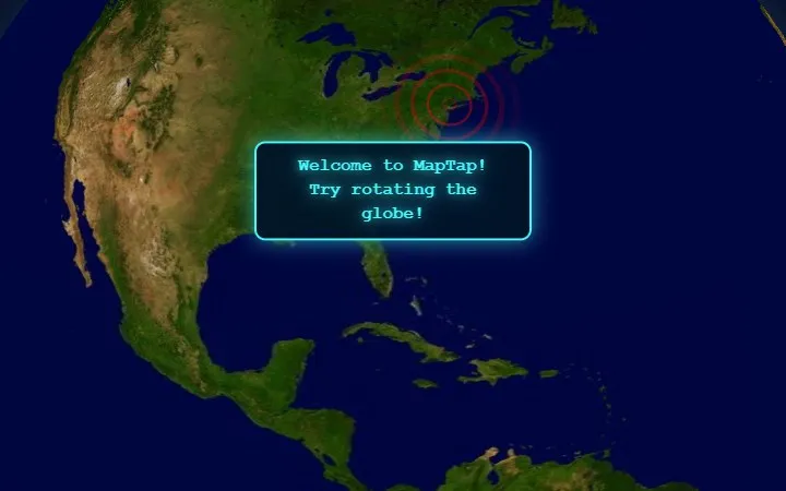 Start with MapTapA short historical or geographic prompt ends in one committed tap on a rotatable globe, making distance and orientation the whole test.
Quick answer
Start with MapTap for the clearest spatial action, choose Flagdle when visual comparison should drive several attempts, or open WhereTaken when you want to inspect a real photograph for country clues.
One clue and one globe tap make direction and distance the whole daily decision.
Best visual comparisonFlagdleFlag similarity feedback lets color and construction narrow the answer across six attempts.
Best photo deductionWhereTakenArchitecture, environment and cultural details support one country-scale inference.
The definition
All six depend on real places, but they expose different evidence and ask for different actions. Knowing a country name is only one part of the task.
A globe, flag, satellite view, photograph, historical scene or silhouette starts the reasoning.
The answer can depend on one point, a country, an urban pattern or a place combined with a year.
Distance, similarity, zoom, directional clues or a final reveal changes how the next guess is formed.
Choose a route
Pick the game that matches whether you reason from orientation, symbols, urban structure, environmental detail, historical context or border shape.
Rotate a globe and express the entire answer as one spatial placement.
I notice flag constructionFlagdleUse colors and visual similarity feedback to narrow a country or territory.
I read cities from aboveSatleIdentify urban structure as a close satellite image gradually widens.
I notice everyday detailsWhereTakenInfer a country from architecture, landscape and cultural evidence in one photograph.
I connect place and historyWhenTakenSubmit both a map location and a year for each historical photograph.
I recognize country shapesWorldleStart from a silhouette and use further clues after each submitted country.
The curated set
Each game starts from a different geographic signal, so the set tests orientation, symbols, urban form, photography, time and silhouette rather than repeating map pins.
Start here
A short historical or geographic prompt ends in one committed tap on a rotatable globe, making distance and orientation the whole test.
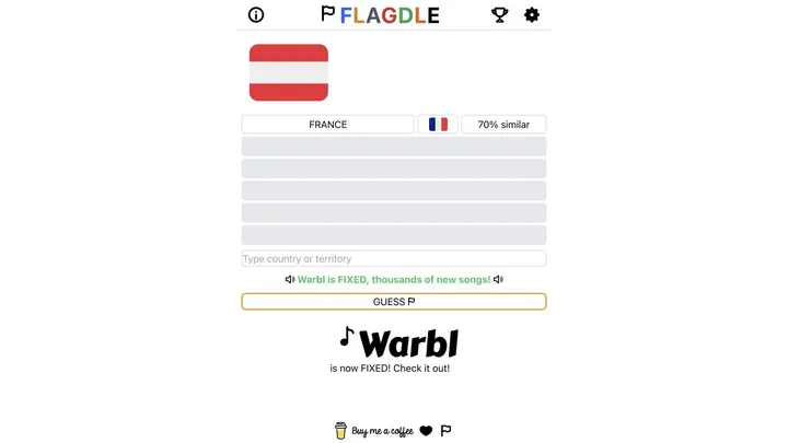
Flags · comparison
Visual-similarity feedback turns flag colors and construction into evidence that can narrow a country or territory across six attempts.
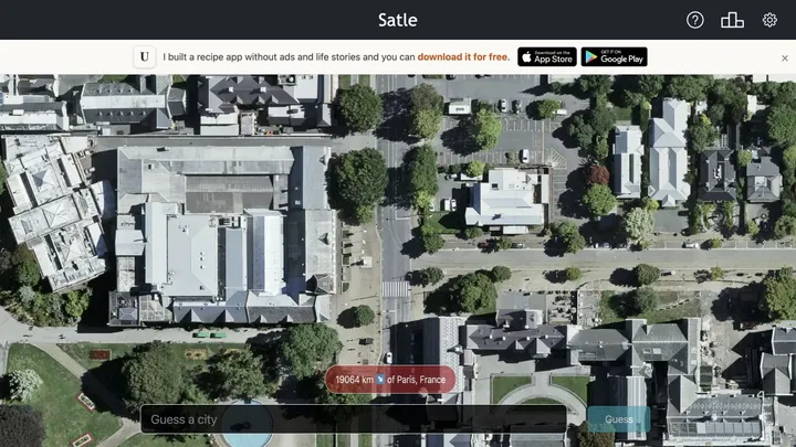
Satellite · zoom
A close satellite view gradually widens after guesses, rewarding the reading of street patterns, density, coastlines, and urban structure.
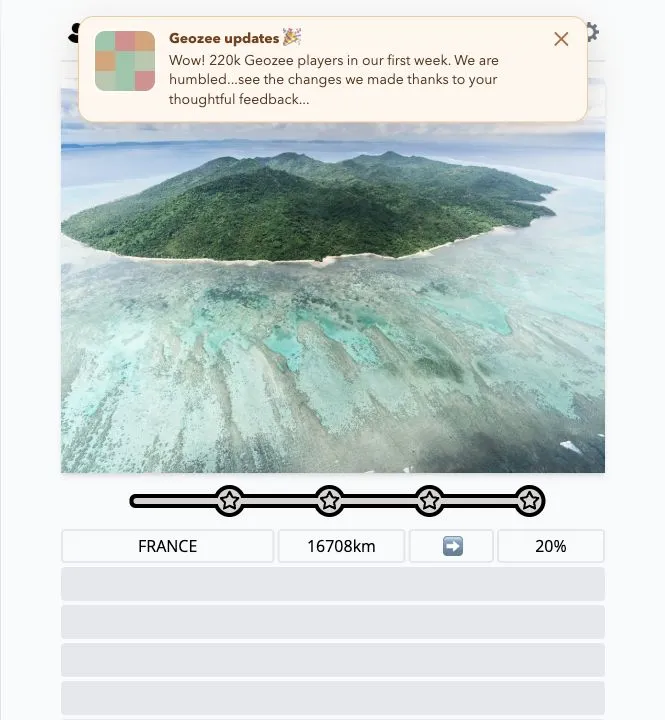
Photo · country
One daily photograph supplies environmental, architectural, and cultural clues for a country-scale deduction with distance feedback.
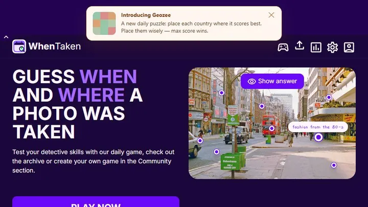
Photo · place and year
Every historical photograph requires both a map pin and a year estimate, joining geographic placement with timeline reasoning across five rounds.
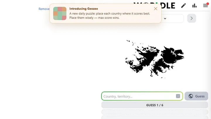
Silhouette · country
A country shape begins the daily puzzle and each attempt supplies further clues, providing a silhouette-led contrast to maps, flags, and photographs.
At a glance
The table separates the opening evidence, required input and feedback because those choices matter more than the shared geography label.
| Game | Opening evidence | Main input | Feedback or reveal | Geographic task |
|---|---|---|---|---|
| MapTap | Short place clue | One globe tap | Distance result | Point placement |
| Flagdle | Flag image | Country submissions | Visual similarity | Country or territory |
| Satle | Close satellite view | City submissions | Wider zoom | Urban recognition |
| WhereTaken | Daily photograph | Country submission | Distance feedback | Country deduction |
| WhenTaken | Historical photograph | Map pin and year | Place and time score | Location plus timeline |
| Worldle | Country silhouette | Country submissions | Directional clues | Border recognition |
How to choose
It turns place knowledge into one clean spatial action and makes distance from the answer immediately legible.
Use it when you want several attempts and visual feedback rather than one committed map point.
The photograph rewards environmental and architectural reading without adding a separate year estimate.
It combines map placement with timeline reasoning across several photographs and has the longest recorded range here.
Editorial boundary
A country theme is not enough. This page includes games only when real-world location drives the primary decision and the clue format changes how the place is read.
General trivia is left out when countries or maps provide only a theme and do not control the main answer.
The collection favors materially different evidence rather than listing several games built from the same map or photo interaction.
A remembered geography game is deferred when its official route or current browser play cannot be verified.
Selection method
Questions, answered
MapTap is the clearest spatial starting point, while Flagdle is better if you prefer several visual-comparison attempts.
WhereTaken asks for a country from one daily photo, while WhenTaken combines historical photographs with both location and year estimates.
Satle begins with a close satellite view and widens the image after guesses to reveal more urban and geographic structure.
Worldle starts from a country silhouette and returns further clues after submitted countries.
No. Flagdle uses flags, Satle uses satellite imagery, WhereTaken uses a photograph, and Worldle begins with a silhouette.